What Is the Safest Neighborhood in Rochester, New York?
An honest, sourced-method answer to which Rochester neighborhood is safest, why rankings mislead, and how Rochester compares with New York City for visitors.
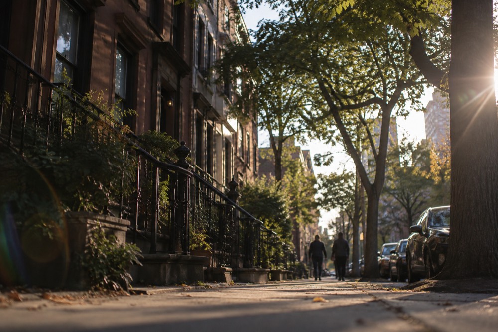
Rochester sits on Lake Ontario's southern shore, a long drive northwest of New York City, and it is a completely different trip from the one most readers of this site are planning. That matters here, because this page gets asked a fair question that deserves a straight answer rather than a confident guess. Neighborhood-level crime rankings are among the least stable statistics in travel writing: they change with every reporting year, they depend on population denominators nobody agrees on, and they get copied from site to site long after the underlying data has moved on.
So this page does two things. First, it answers the question honestly, including the parts of the answer that rankings leave out. Second, it gives you the method, so you can check the current picture yourself before you book anything, rather than trusting a number a travel site typed once and never revisited.
What Is the Safest Neighborhood in Rochester, New York?
No single Rochester neighborhood can honestly be crowned the safest, because the answer depends on the year, the dataset and the measure you choose, and neighborhood-level rankings shift enough that any flat declaration would be stale within months. What local discussion consistently points to instead is a set of quieter, mostly residential districts, including the Park Avenue area, Corn Hill and the bordering suburbs, that come up repeatedly as comfortable places to stay and walk.
Why the hedge, when other pages will happily hand you a name and a number? Because the honest answer is structural. City-level crime data is published regularly, but neighborhood-level comparisons are assembled by third parties using different boundaries, different per-capita maths and different reporting years. A ranking built on 2023 data, published on a site that never updates, still shows up on page one of a search in 2026. The reader has no way to see that.
What can be said with confidence is the shape of the city. Rochester is a mid-sized, walkable city with a strong neighborhood identity: the Park Avenue district and the adjacent Neighborhood of the Arts around the Memorial Art Gallery are known for tree-lined streets and independent shops; Corn Hill near the riverfront is a restored historic district; Highland Park, famous for its lilac collection, anchors a leafy southeastern quadrant; and the inner-ring suburbs such as Brighton and Irondequoit are separate municipalities with their own police departments and their own statistics. These areas come up repeatedly in local conversation as comfortable for visitors. None of that is a crime statistic, and this page will not invent one.
If you want a current, defensible read before a trip, the method in the next section takes about fifteen minutes and beats any listicle.
How Do You Judge a Neighborhood's Safety Without Outdated Rankings?
Use three sources in combination: the Rochester Police Department's own published crime dashboards and address-level mapping, city or county open-data portals for the raw incident counts, and finally your own eyes on the specific blocks you plan to walk, checked in daylight and after dark. No single source is enough, because each measures something different, and each corrects the other's blind spots.
Start with the police department's own data. Rochester publishes incident data and participates in the FBI's national reporting programs, and address-level crime maps let you look at the specific streets around a hotel or rental rather than a whole neighborhood average. That granularity is the whole game: a single quiet block and a single troubled corridor can sit inside the same officially named neighborhood, and an average smears them together.
Second, check the denominator. A neighborhood with a tiny residential population and a large daytime visitor count, say a district around a hospital or a university, can post a high per-capita incident rate that tells a visitor almost nothing about their actual risk while walking there. Conversely, a dense residential street can look worse on raw counts than it is per resident. If a ranking you find does not say which measure it used, it is not a ranking, it is a decoration.
Third, apply the ordinary traveler's tests, which are the same in Rochester as anywhere: do people walk there in the evening, are businesses open after dark, is transit frequent, are the sidewalks lit and intact? These are not sentimental questions. They are the observable symptoms of a street that works, and they are current in a way no cached statistic is.
One more habit worth building: check the official source rather than the aggregator. If a page says "Rochester's safest neighborhoods, 2026," find out whether its numbers come from the police department, the county, or a scrape of a scrape. This site applies the same rule to itself, which is why this page links methods rather than typing crime figures it cannot source.
For readers whose search started in Rochester and drifted toward a New York trip, the same method applies there, and the stakes are higher because the visitor volume is higher. Our full guide to whether New York City is safe walks through the sourced figures for the five boroughs, and the main things to do in NYC page maps which neighborhoods the classic sights actually sit in, which is usually the more useful question for a visitor than a raw safety ranking.
Which Rochester Neighborhoods Come Up Most Often as Safer Choices?
The districts that come up most consistently in local discussion as comfortable for visitors are the Park Avenue area and the adjacent Neighborhood of the Arts, the restored Corn Hill historic district near the riverfront, the leafy blocks around Highland Park in the southeast, and the inner-ring suburbs such as Brighton and Irondequoit, which are separate municipalities with their own police forces.
None of these is a guarantee, and none can honestly be assigned a crime figure on this page.
The Park Avenue district is the closest thing Rochester has to a classic walkable village core: independent cafes, a cinema, bookshops, and a residential grid behind it. The Neighborhood of the Arts, running up toward the Memorial Art Gallery, shares that character and adds galleries and the museums-adjacent foot traffic that keeps streets active into the evening. Active streets are the visible form of the safety question, which is why these districts get recommended to visitors again and again.
Corn Hill is the historic district just south of downtown on the river side, a pocket of restored 19th-century homes a short distance from the Blue Cross Arena and the convention activity along the riverfront. Highland Park, in the southeast of the city, anchors a quieter residential quadrant known for its lilac festival and its arboretum. And the suburbs matter here more than in most cities: Brighton borders the city's southeast corner and Irondequoit wraps the north, and both are independent towns with their own departments, their own data and their own character, so a "Rochester neighborhood" ranking that quietly includes or excludes them is measuring different things.
| District | Character | Why it comes up for visitors |
|---|---|---|
| Park Avenue area | Walkable village core, independent shops and cafes | Active streets into the evening, residential grid behind the retail strip |
| Neighborhood of the Arts | Gallery and museum quarter toward the Memorial Art Gallery | Daytime and evening foot traffic, compact and walkable |
| Corn Hill | Restored 19th-century historic district near the riverfront | Close to downtown and the arena district, quiet residential streets |
| Highland Park quadrant | Leafy southeast, arboretum and lilac festival | Park-anchored, low-traffic residential blocks |
| Brighton (suburb) | Separate town bordering the southeast corner | Own police department and own statistics, not a city neighborhood |
| Irondequoit (suburb) | Separate town wrapping the north toward the lake | Own police department and own statistics, not a city neighborhood |
A practical note for trip planning: where you stay in Rochester matters less than in a larger city, because the visitor footprint is compact. Downtown, the museum quarter, the Park Avenue district and the riverfront are all within a short drive of each other, and the realistic risks for a visitor are the ordinary ones, parking, dark walks to a car, seasonal cold, rather than neighborhood selection. If a listing or hotel sits in one of the districts above, the location question is broadly settled; the remaining question is the block, and the address-level method from the previous section answers it.
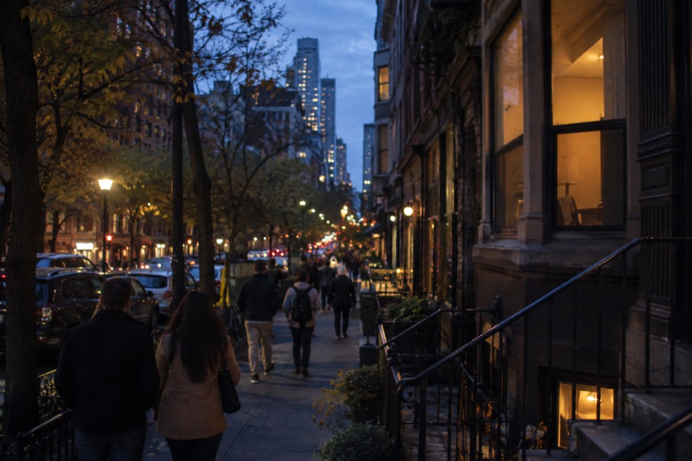
Is Rochester Safer Than New York City?
The honest comparison is not the one most people expect: New York City, by the verified figures this site has checked against official sources, is one of the safest large cities in the United States by several standard measures, and the perception gap between it and smaller cities like Rochester says more about scale and media coverage than about relative risk to a visitor. Any page that ranks the two with a single confidence score is guessing.
New York City recorded roughly 65 million visitors in 2025, and the overwhelming majority of those trips, including late-night subway rides and walks through busy districts, ended without incident. That is not a reassurance by omission; it is the denominator that almost every fear-driven comparison leaves out. This site's New York City safety guide carries the sourced detail, including the fact that subway fare evasion fell from 12.7% to 10.2% between 2024 and 2025, a small but real indicator of a system getting more, not less, orderly.
The comparison question usually comes from a reader deciding between two trips, so the practical answer is about behavior, not city selection. In New York, the visitor's realistic safety questions cluster around a few specific things: keeping a phone out of the back pocket on a packed platform, knowing which subway line serves your hotel at night, and not walking the quiet end of a park after dark. In Rochester, the questions cluster around driving: more of the trip happens in a car, more of it happens after dark in parking areas, and winter weather from roughly November through March is a bigger factor than crime in any neighborhood. The wider set of guides lives on New York City Travel Guide.
That behavioral framing is why this site refuses the "which city is safer" rankings game. A visitor who behaves sensibly in either city faces low risk; a visitor who behaves carelessly in either city raises it. The city-level number is the least useful piece of information on the page.
What Should Visitors to Rochester Actually Worry About?
The realistic risks for a Rochester visitor are weather, driving and ordinary property crime, in roughly that order, not neighborhood selection. Lake-effect snow makes Rochester one of the snowiest cities in the country in a typical winter, most trips involve short drives rather than long walks, and the standard urban precautions about valuables in a parked car apply everywhere in the metro area rather than in one district.
Winter deserves the top slot. Rochester sits in the lake-effect snow belt east of Lake Ontario, and a visitor arriving between December and March should plan around road conditions, flight delays and the simple physical reality of walking a city block in a wind that has crossed a frozen lake. No neighborhood ranking protects you from a February evening; a warm coat and a hotel near your evening plans do.
Driving is the second. This is not a city where most visitors ride transit between sights; they drive or take short rides, which concentrates risk in parking lots, garage stairwells and the walk between a car and a restaurant door after dark. The universal advice, keep valuables out of sight in the car, park under a light, prefer lots to dark side streets, applies across every district named on this page equally.
Property crime is the third, and it is the one the rankings gesture at. The honest version is blunt: in any mid-sized American city, a visitor's exposure to property crime is mostly a function of what they leave visible in a car and how aware they are on the street, not of which side of a neighborhood boundary their hotel sits. Violent crime in Rochester, as in most American cities, is heavily concentrated among people who know each other, not among strangers visiting a museum or eating dinner, which is why visitor risk and resident risk are different numbers that rankings collapse into one.
None of this is an argument for carelessness. It is an argument for spending your planning energy where the risk actually is: check the weather window, book lodging near your evening plans in one of the walkable districts, and apply the same street sense you would apply in any city.
Planning a New York Trip Instead of the Rochester One?
If your search about Rochester is really the start of a New York City plan, the neighborhoods visitors actually want, Midtown around Times Square, the Museum Mile stretch of the Upper East Side, the High Line corridor in Chelsea, and the Brooklyn Bridge approaches, are among the most walked and most policed streets in the United States, and the verified fare and safety figures on this site make planning them straightforward.
Start with the money page, then pick one guided walk to anchor your first day.
The practical first move is orientation. The things to do in NYC page is the full map of the city's sights by borough and category, and for a first visit the first-timer's guide sequences them into days that make sense geographically. Safety-wise, the districts above need no special planning beyond the ordinary: the busiest tourist corridors in New York are crowded around the clock, and crowds are the simplest safety feature a street can have.
For a first-day anchor, a guided walk does double duty: it shows you a neighborhood and it shows you how the city feels on foot, with someone local handling the route. The Chinatown and Little Italy food tour covers six tastings across two of the most characterful downtown districts, and it doubles as a meal.
If you would rather pay what you feel the walk was worth, the Financial District, Wall Street and 9/11 Memorial free tour on GuruWalk is a tip-based option covering the oldest blocks of the city, and it ends near the waterfront. Free walks are not a wide market here: six of the ten New York walks on GuruWalk belong to a single operator, so do not imagine a deep bench of competing guides.
For a paid option with more history and less food, the SoHo, Little Italy and Chinatown walking tour strings three downtown neighborhoods into one guided sweep, and it works well as a first-day orientation before you explore on your own.
Getting around once you are there is simpler than the old guides claim. There is no 7-day unlimited pass to buy any more: the MTA stopped selling MetroCards on 1 January 2026, and the replacement is automatic. Tap the same card or phone for every ride and once you hit $35 in a seven-day window, the rest of that period is free. The OMNY guide has the details, and the subway guide covers everything else, including which lines run express and why that matters at 11pm.
Common Questions About Neighborhood Safety in Rochester, New York
These are the questions that come up most often once the main one is answered: whether the suburbs count as Rochester, whether downtown is safe at night, whether the answer changes for families, how Rochester compares with Buffalo or Syracuse, and what the single best check is before booking a stay.
Each one has an honest answer that avoids the invented statistics most ranking pages reach for, and each one is answered below with the same method-first approach as the rest of this page.
What is the safest neighborhood in rochester, new york?
No single neighborhood can honestly be named as the safest, because neighborhood-level rankings change with every reporting year and depend on how the data is cut. The districts that come up most consistently as comfortable for visitors are the Park Avenue area, the Neighborhood of the Arts, Corn Hill and the Highland Park quadrant, plus the inner-ring suburbs of Brighton and Irondequoit. Use address-level police data and your own daylight and evening walk-through of the specific blocks before booking.
Do the suburbs count as Rochester neighborhoods?
No, and the distinction matters for any ranking you read. Brighton and Irondequoit are separate towns with their own police departments, their own boundaries and their own statistics. A "safest Rochester neighborhoods" list that quietly includes or excludes them is comparing different things, so always check whether a list covers the city only or the wider metro area.
Is downtown Rochester safe at night?
Downtown Rochester is compact and, like most mid-sized American downtowns, empties considerably after business hours outside event nights at the arena and the theaters. The practical advice is event-driven: on a concert or festival night the riverfront and arena district is busy and lively, and on a quiet Tuesday it can feel deserted by 9pm. Plan evening activity around events or the walkable districts rather than expecting a uniformly active downtown core.
Is Rochester safe for a family visit?
The realistic family risks in Rochester are weather and driving, not crime. Winter trips need serious cold-weather gear and flexible plans around lake-effect snow, and most family itineraries, the Strong Museum, the zoo, Highland Park, involve short drives between stops. The walkable visitor districts named earlier are comfortable for families in daylight hours, and the standard advice about parking under lights and keeping valuables out of sight applies everywhere equally.
How does Rochester compare with Buffalo or Syracuse?
This page will not rank the three upstate cities against each other, because doing it honestly requires current, directly sourced crime data for all three that this site has not verified. What can be said is that all three are mid-sized, car-oriented upstate cities where visitor risk is dominated by weather, driving and ordinary property precautions rather than by neighborhood selection. Apply the same three-source method, police data, open data, and your own eyes, to any of them.
What is the single best check before booking a Rochester stay?
Look up the specific address on the Rochester Police Department's address-level incident mapping, then walk the block on a mapping service's street view, and finally check the walk from your lodging to wherever you plan to eat in the evening. Those three checks, ten minutes in total, tell you more about your actual stay than any neighborhood ranking on the internet, because they describe the exact block you will sleep on rather than an average across thousands of people.
The last word belongs to the method, not to any list. Crime data ages faster than almost any other statistic a travel site prints, and the sites that rank neighborhoods rarely tell you which year they are quoting. Fifteen minutes with the police department's own address-level tools, plus a street-view pass over the blocks around your booking, will beat every cached ranking on the subject, in Rochester or anywhere else. And if the trip turns out to be New York after all, the verified figures on this site, fares, museums, decks and passes, are the ones worth planning from.